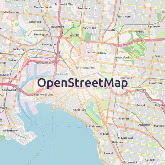
Maps for developers
Easy to use maps, documentation, code samples, and
developer tools for web & mobile.


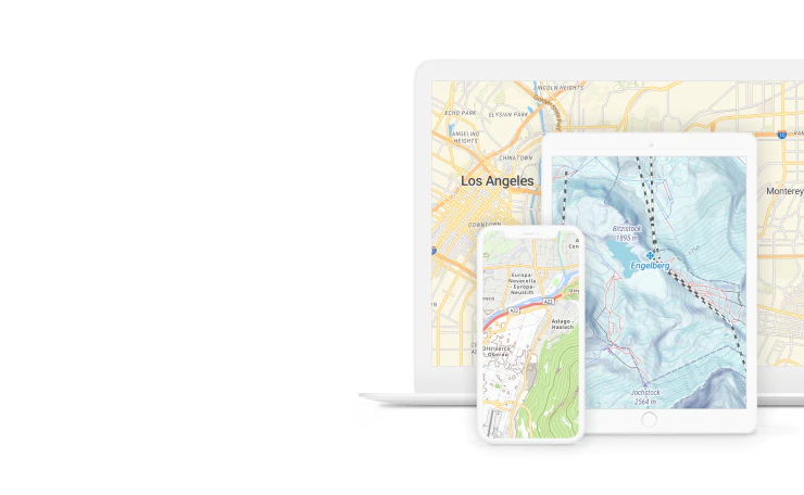


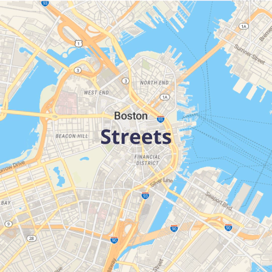
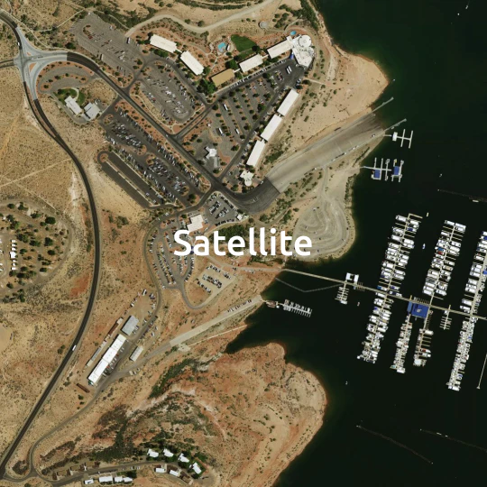
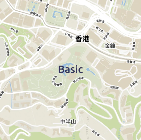
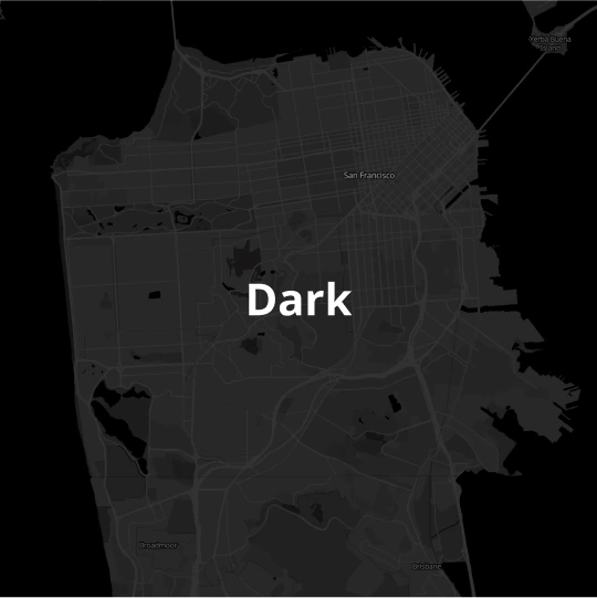
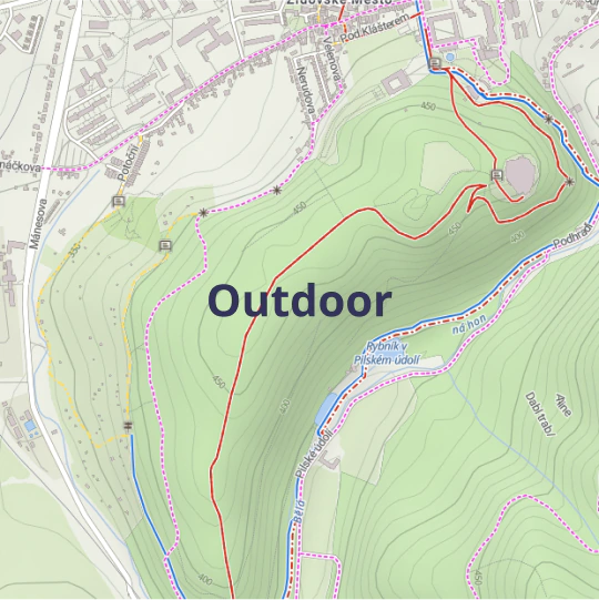
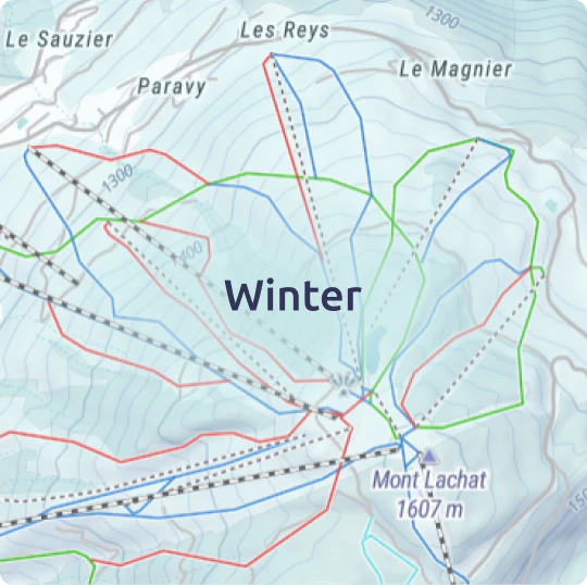
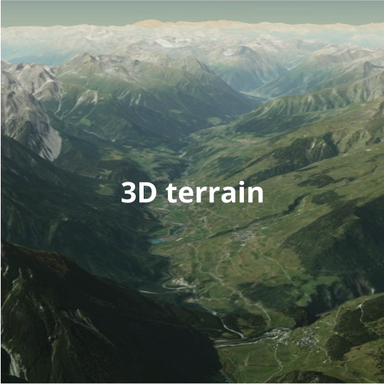
Maps for every use case. Choose yours!

API and code samples for developers
Speed up development with:
Covering all your favorite JavaScript libraries and frameworks.
Read documentation


Create your own map design
Simply modify a few colors to get your own map look.
Change the language, fonts, or use our advanced editor for full control over every aspect of your map.

Explore map designer tool
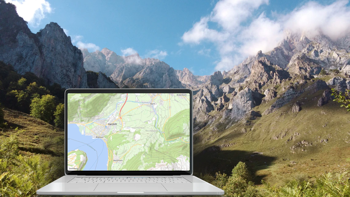
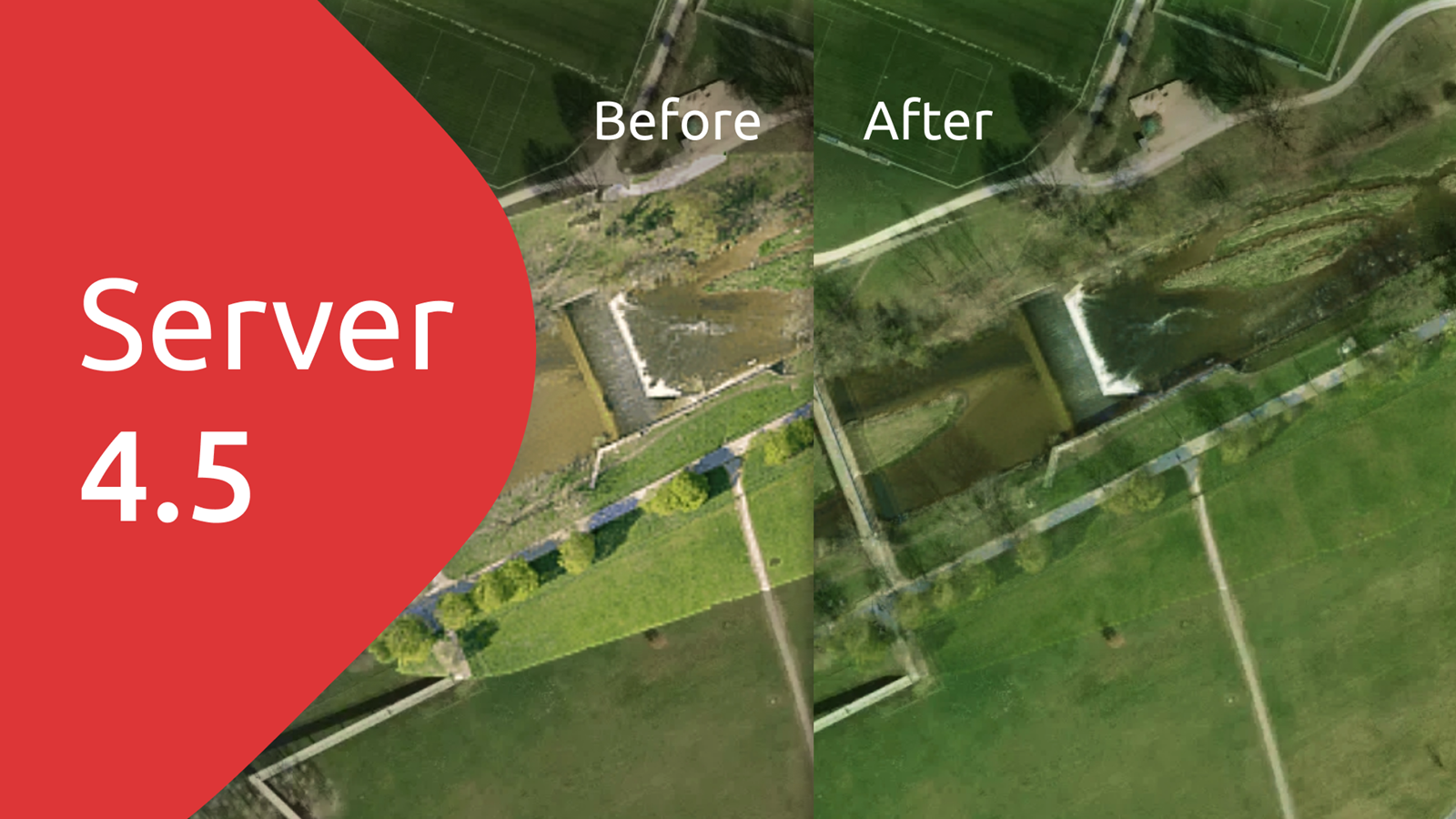
Self-hosted maps
Publish maps from your server or laptop. Run your map server with global data behind a firewall, or get full functionality offline.
Self-host your mapsData processing tool
Turn an image into a map on your computer or process satellite imagery of the entire world on a cluster of computers.
Process your data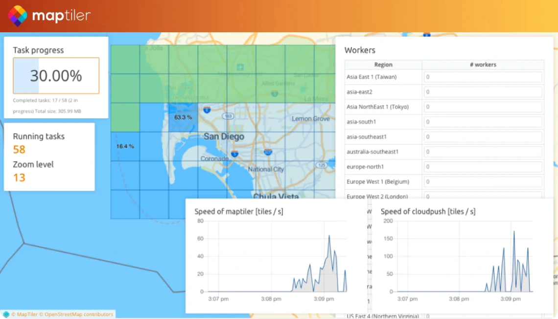
Read the latest mapping news

Get started now!
Access Maps API, geocoding, customize,
or talk to one of our map experts.